
Route Summary
 Although not long, this route provides marvellous viewpoints on the initial ascent of twin-peaked La Hoya. After visiting a little ermita, the 2nd half of the walk ascends on old lava flows to the pines. The return is notable for the terraced tiers of former farm-land and “eras”.
Duration: 3 hours
Route Overview
Duration: 3 hours.
 Transport/Parking: Titsa 461/462 from Santiago del Teide. Easy parking in Arguayo near the start/end point at the football stadium.
Length: 5.100 km / 3.19 mi
Height Gain: 285 meter
Height Loss: 285 meter
Max Height: 1180 meter
Min Height: 946 meter
Surface: Very rough.
Child Friendly: Yes, but only if children are used to hikes of this distance and overall ascent on rough paths.
Difficulty: Moderate.
Dog Friendly: Yes.
Refreshments: Bar Tropic I and El Unico Bar on Carretera General in Arguayo.
Description
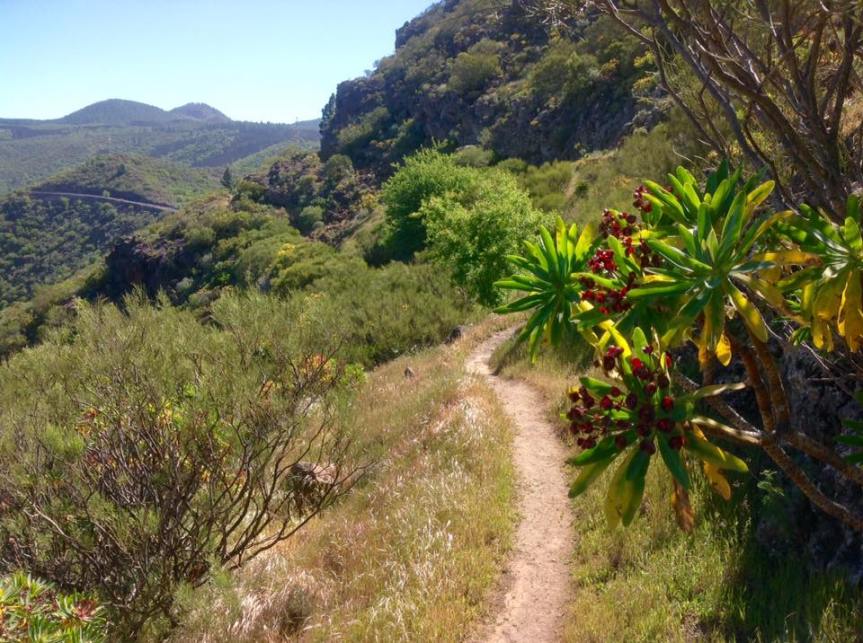
 In only just over 5 km this little hike has all the elements of a classic hill walk in southern Tenerife, especially in springtime when there are so many wild flowers to enjoy along the way. The route soon leaves the small town of Arguayo behind as you start to ascend the fortress-like mass of the La Hoya mountain that towers over the TF-1 autopista at the El Bicho tunnels. As you climb to the saddle between the twin peaks, marvellous views start to unfold of Arguayo, along the West of the island, and of Teide and Pico Viejo. Crossing the saddle, there are then “wow-spectacular” views of the Teno Mountains and the Santiago del Teide area. Traversing the verdant and flower-carpeted hillside on a lofty (but safe) path we encounter the tiny white chapel (ermita) of Santo Angel de Guardia where, again, there are particularly fine views of El Teide. The second half of the walk then ascends on old lava flows to the shimmering pine forest, with Teide slipping in and out of view as you progress. The descent back to Arguayo is notable for the remarkable terraced tiers of former farm-land, and threshing circles, now long abandoned. Here, our imagination is fired by visions of hard but productive labour in years gone by.
Links:
Photos from walk
Download Route Guide (PDF with illustrated Waypoints)
Download GPX file (GPS Exchange Format)
Access Walk on Viewranger
Access Walk on Wikiloc
