
Route Summary
 Explore the historic centre of Vilaflor, the highest settlement in Tenerife, and experience the unique terraced farmland and pine forest environment high above the south-eastern coast of the island. There are also great views up towards the peaks near the rim of the Teide crater.
Duration: 4 hours
Route Overview
Duration: 4 hours.
Transport/Parking: Titsa 342, direct from Los Cristianos. Other options via Granadilla. Large car park behind the church.
 Length: 8.830 km / 5.52 mi
Height Gain: 434 meter
Height Loss: 434 meter
Max Height: 1602 meter
Min Height: 1328 meter
Surface: Mostly rough stony paths and rough roads.
Child Friendly: Yes, but only only if children are used to strenuous uphill hikes on rough surfaces..
Difficulty: Moderate.
Dog Friendly: Yes.
Refreshments: Nearest to the start/end, beneath the plaza, are Cafe Fuente de Hermano Pedro and Cafe de Siempre (drinks only).
Description
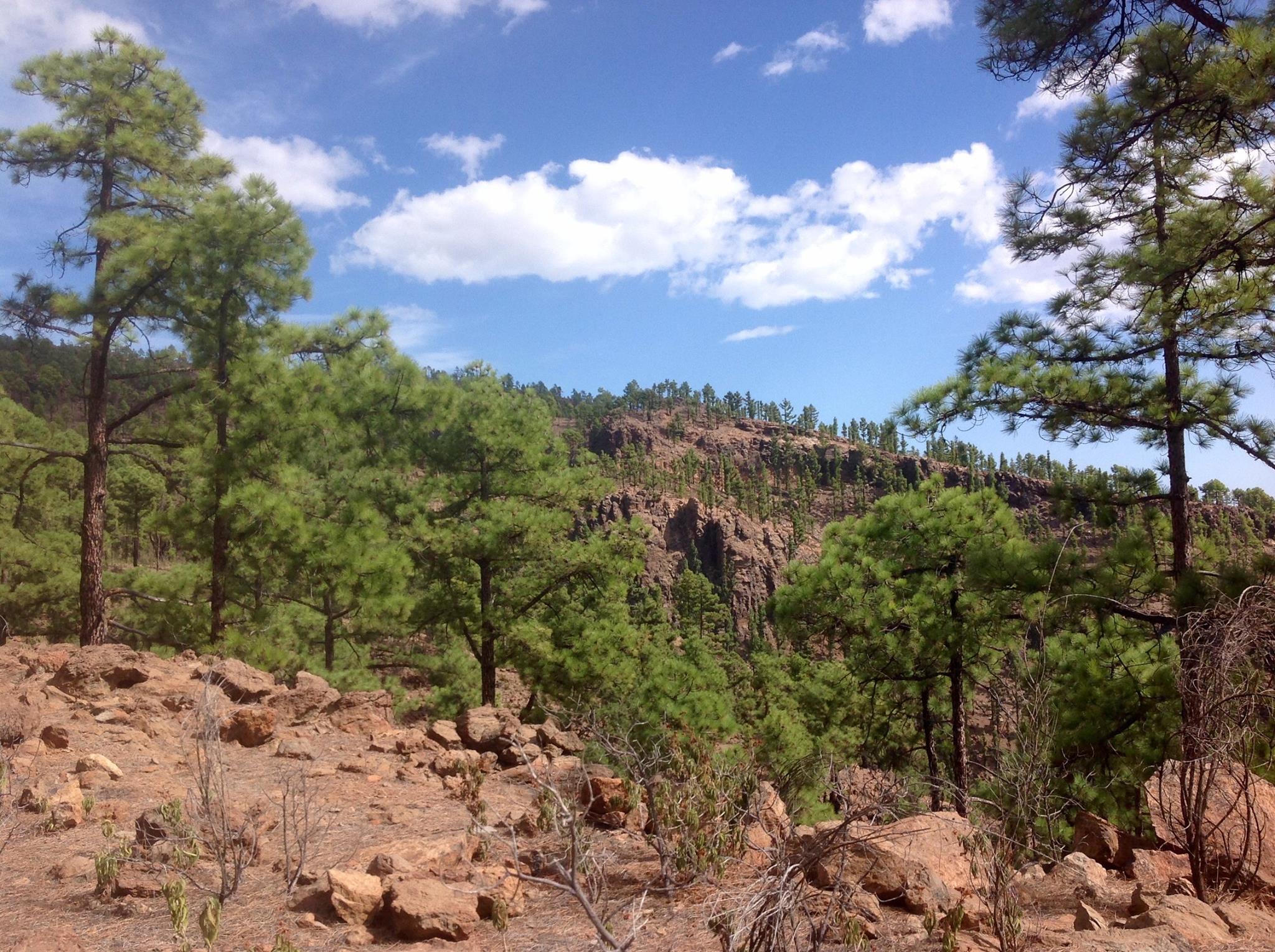 This is a moderately strenuous route offering the opportunity to explore the historic centre of Vilaflor, the terraced farmland on the outskirts, and the fine open pine forests that surround it. At around 1,400 metres above sea level, Vilaflor is the highest municipality in Spain and the highest village/town in Tenerife, providing a unique environment for the visitor. In May and June the majestic Tajinaste Rojo flowers are to be found growing all around the streets and gardens. It often sits above the “sea of clouds” that can surround the middle levels (“Medianías”) of Tenerife and so enjoys lots of clear blue skies, making it popular with star-gazers. After dropping down through the village, we take an old rural road, the Pista de Trevejos, into the pine forest, before climbing gradually up the open, pine-clad slopes of Montaña de la Vica where there are superb views all around, and especially up to the forested peaks of Montaña de las Lajas and El Sombrero, and to Roque del Almendro at the the rim of the Teide Caldera. The final section, descending from the pine forest provides great views of Vilafor and its historic centre.
Links:
Photos from walk
Download Route Guide (PDF with illustrated Waypoints)
Download GPX file (GPS Exchange Format)
Access Walk on Viewranger
Access Walk on Wikiloc
