
Route Summary
 This walk provides great views and is a good work-out at over 8 km and more than 500 m overall ascent. The route descends into the terraces below Vilaflor before winding up past more plots and pine woods, then heading back down to Vilaflor on the old Camino de Chasna path.
Duration: 3.5 hours
Route Overview
Duration: 3.5 hours.
Transport/Parking: Titsa 342, direct from Los Cristianos. Other options via Granadilla. Large car park behind the church.
 Length: 8.290 km / 5.18 mi
Height Gain: 513 meter
Height Loss: 513 meter
Max Height: 1686meter
Min Height: 1357 meter
Surface: Rough paths and forest roads.
Child Friendly: Yes, but only only if children are used to strenuous uphill hikes on rough surfaces..
Difficulty: Moderate.
Dog Friendly: Yes.
Refreshments: Nearest to the start/end, beneath the plaza, are Cafe Fuente de Hermano Pedro and Cafe de Siempre (drinks only).
Description
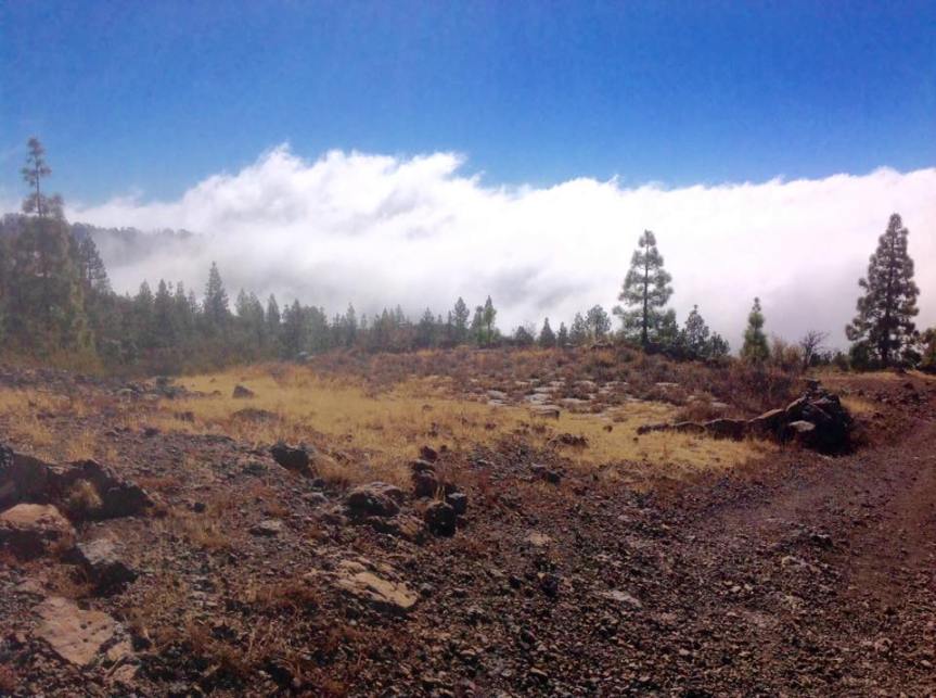
 It’s always a pleasure to visit Vilaflor. Perhaps it’s the clean mountain air – often above the clouds; perhaps the fine old buildings; perhaps its position, as if on a platform, looking down on the south-east coast; perhaps the countless layers of worked farm terraces; perhaps the backdrop of pine forests and high mountain peaks? That’s not to mention the roses that grow throughout the year, and, in season, the town being surrounded by blankets of yellow poppies (Spring), and encountering the splendid Tajinaste Rojo at every turn on the streets (early Summer). This 3.5 hour walk provides a good work-out for the legs at over 8 km and more than 500 m overall ascent. The route at first descends into the main agricultural area below the town before winding its way up past areas of terraces and pine woods then briefly joining the cross-island GR 131 path. It then diverts off at the abandoned farm, Casa Galindo, for the forest road called Pista de Agua del Madre. Walking under the craggy and pine-forested Lomo de Topo Negro hillside we eventually head back down to Vilaflor on the old Camino de Chasna (GR 131) path. Needless to say, great views are a feature throughout the walk.
Links:
Photos from walk
Download Route Guide (PDF with illustrated Waypoints)
Download GPX file (GPS Exchange Format)
Access Walk on Viewranger
Access Walk on Wikiloc
